Mapping for Train and Tram Zones
Department of Transport and Planning
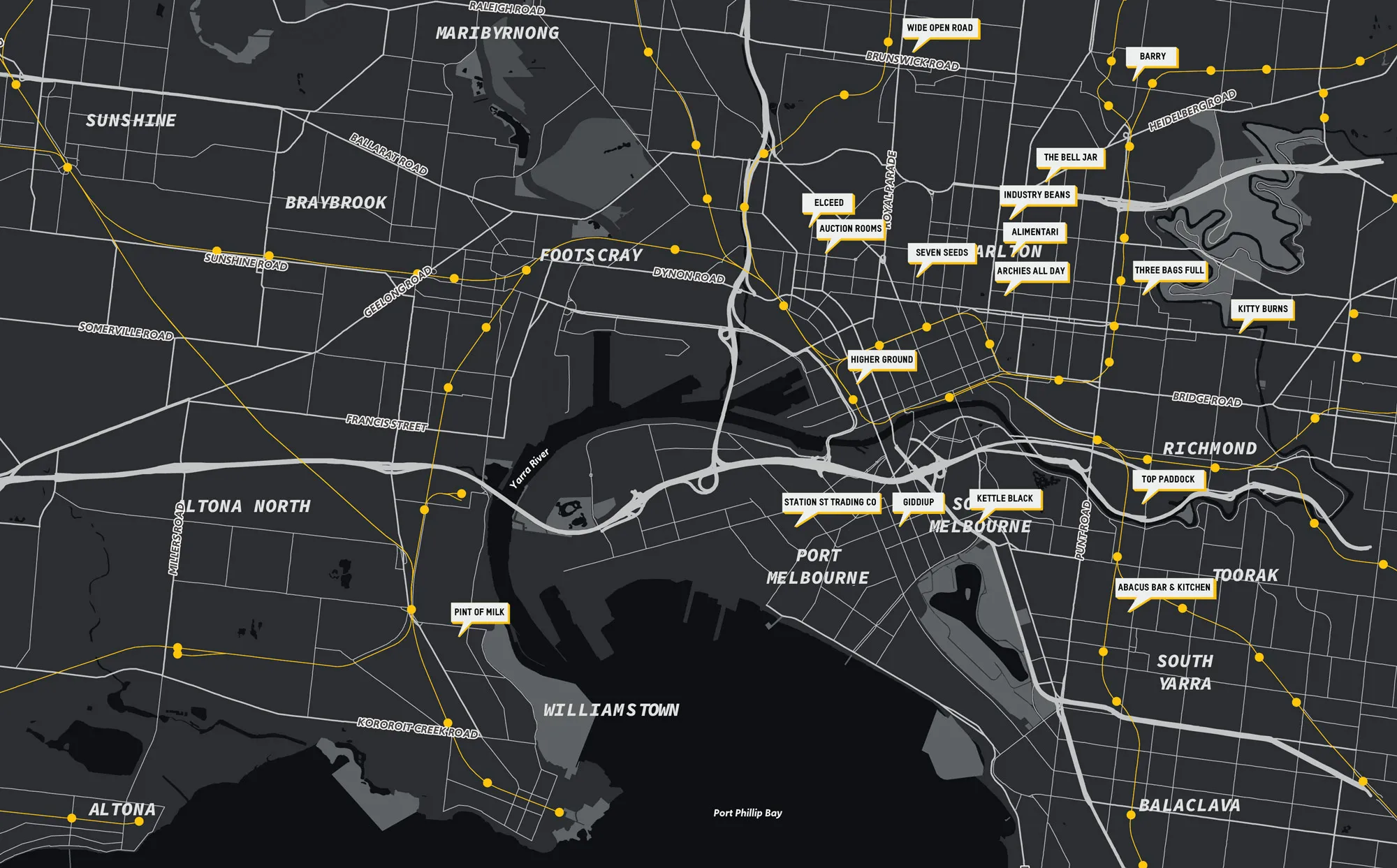
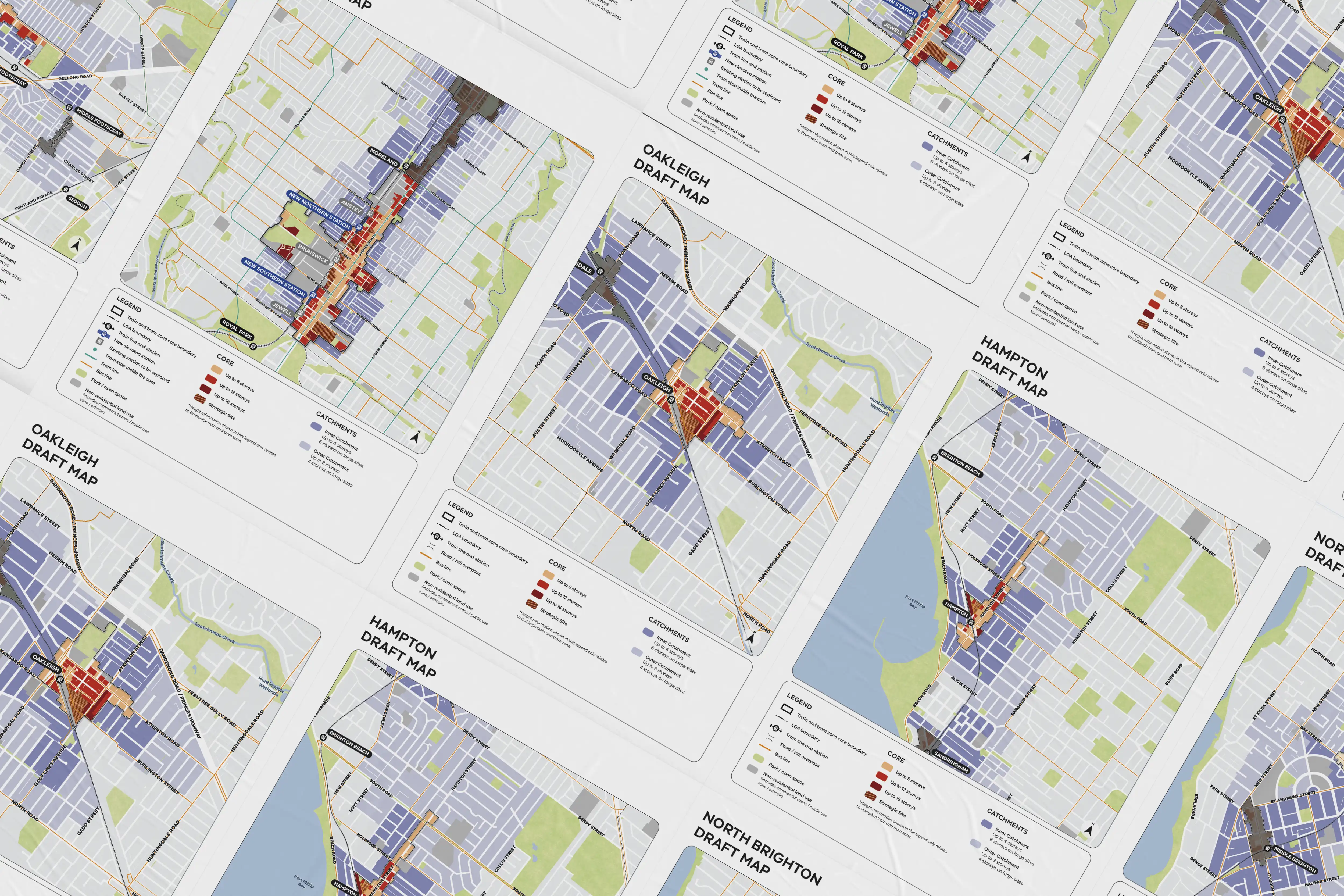
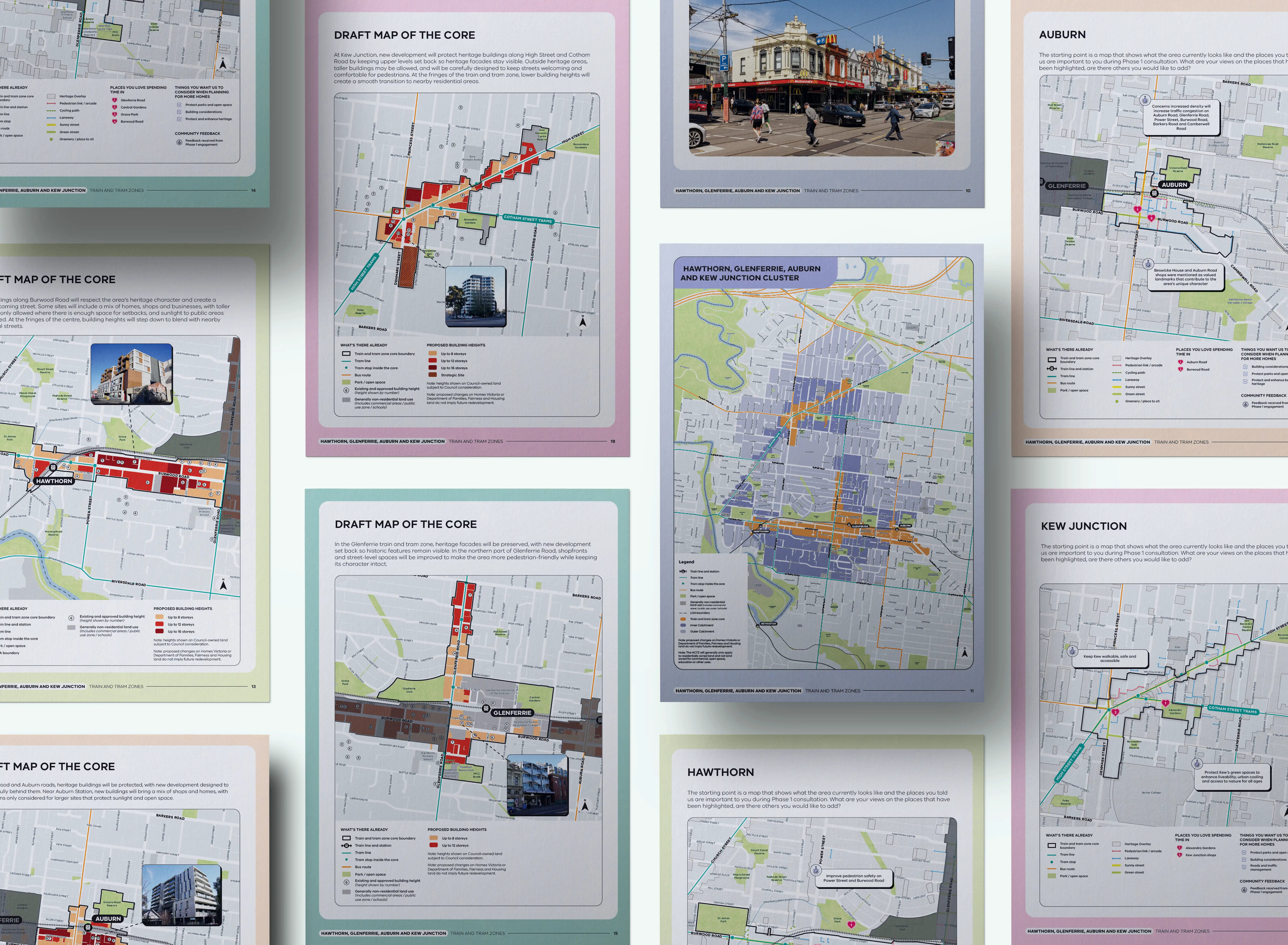
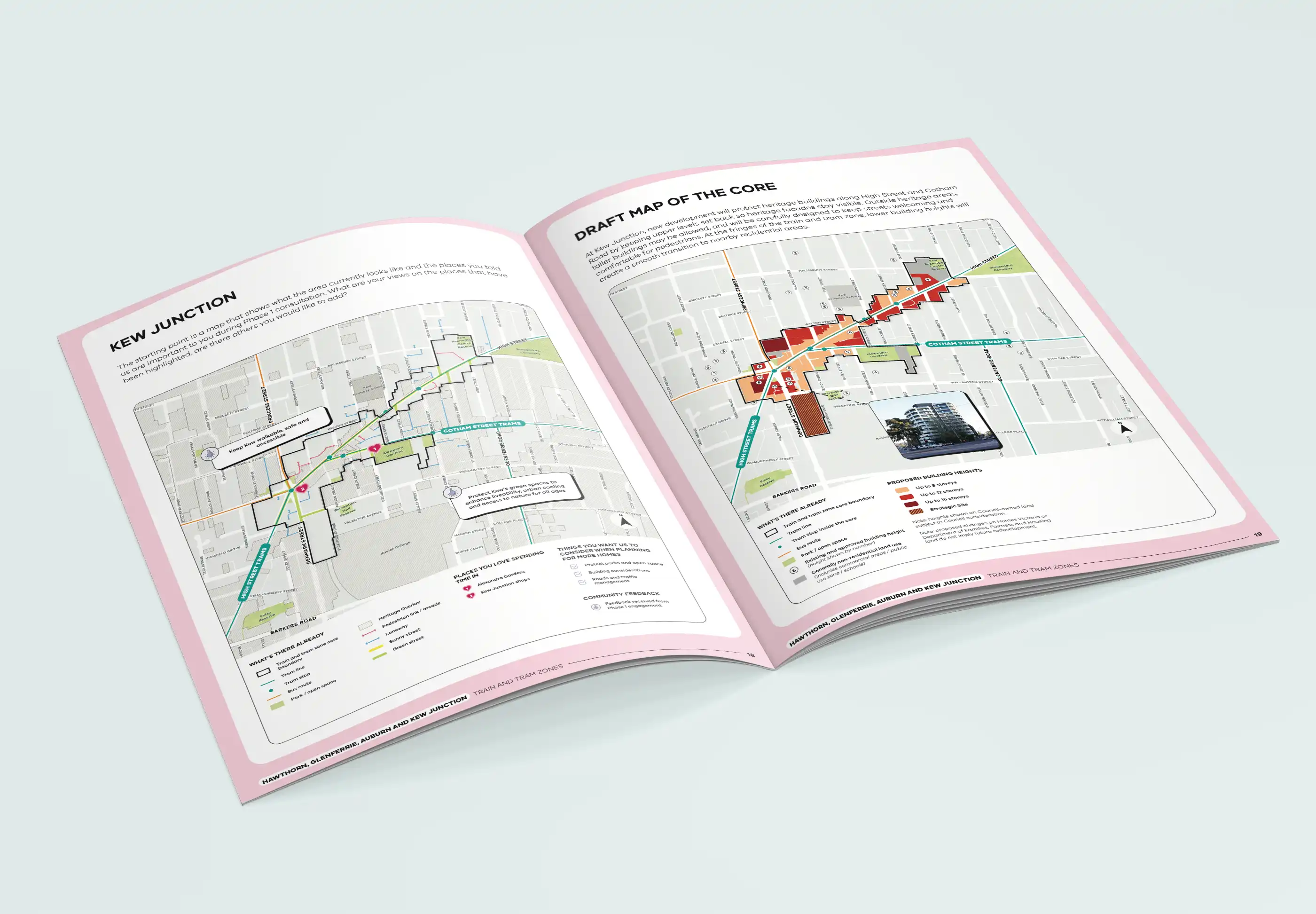
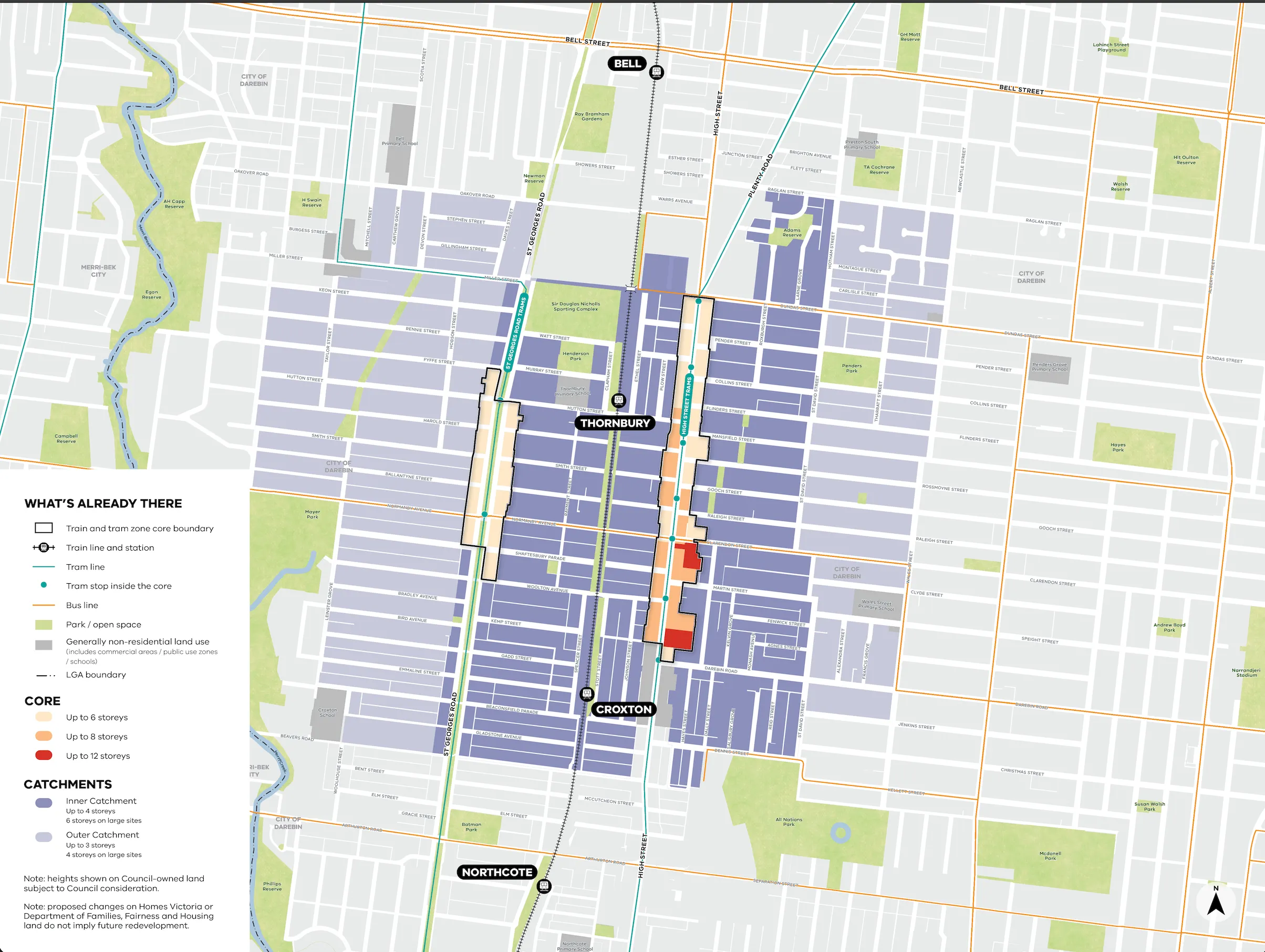
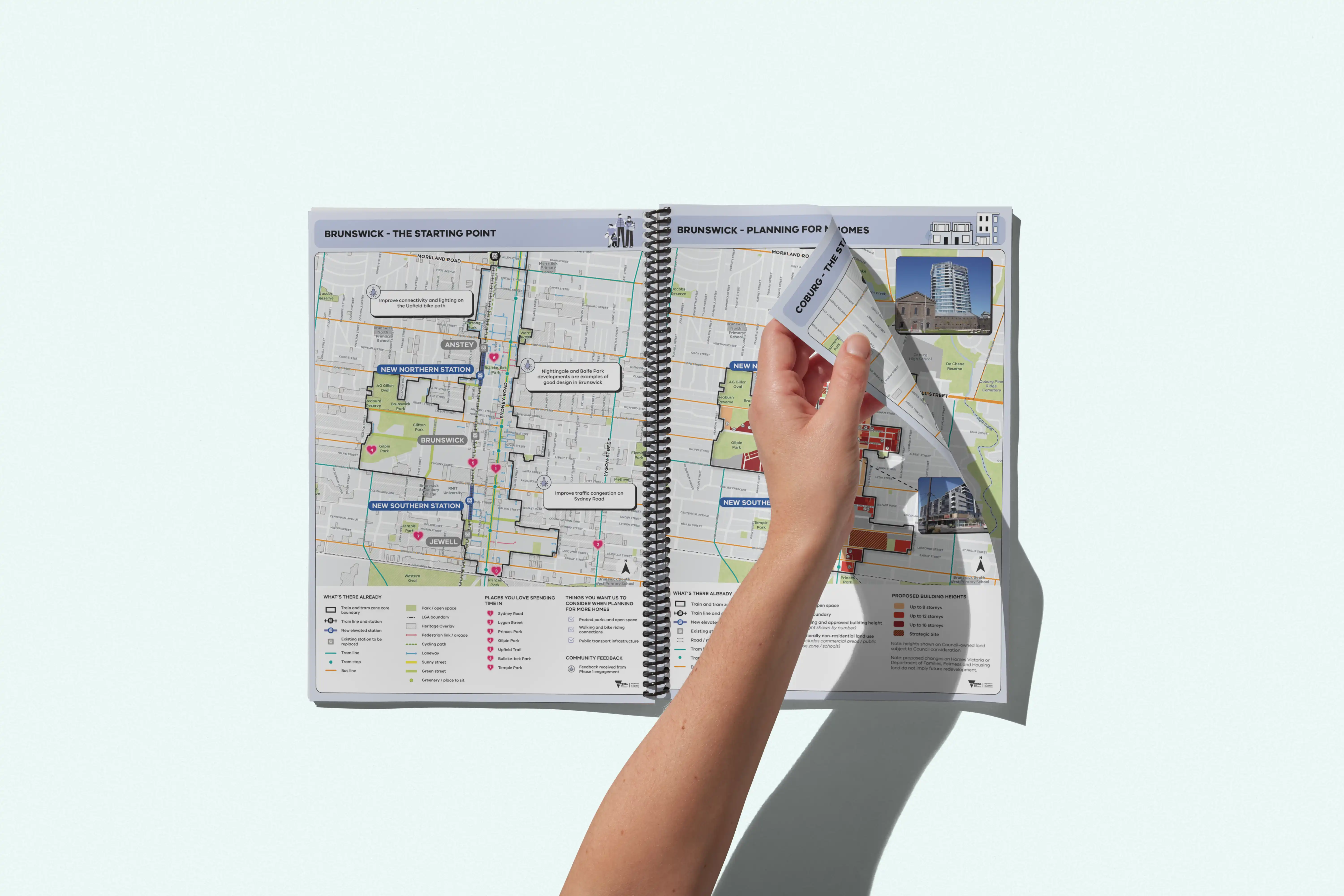
For the Train and Tram Zone Activity Centres Program, CoFutures prepared detailed GIS mapping to support precinct-scale planning around public transport corridors. This included mapping activity centre boundaries, walkable catchments and access to services, visually communicating how transport infrastructure could support higher-intensity development. The resulting maps provided a consistent, comparable spatial framework across multiple centres. The maps were used for digital and in-person engagement.

Need a map created? Let's chat!
Speak with our expert mapping team. Fill out the form below or get in touch via admin@cofutures.com.au
Thank you! Your submission has been received!
Oops! Something went wrong while submitting the form.