Map Studio
We create clear, compelling maps that turn complex information into visual stories.
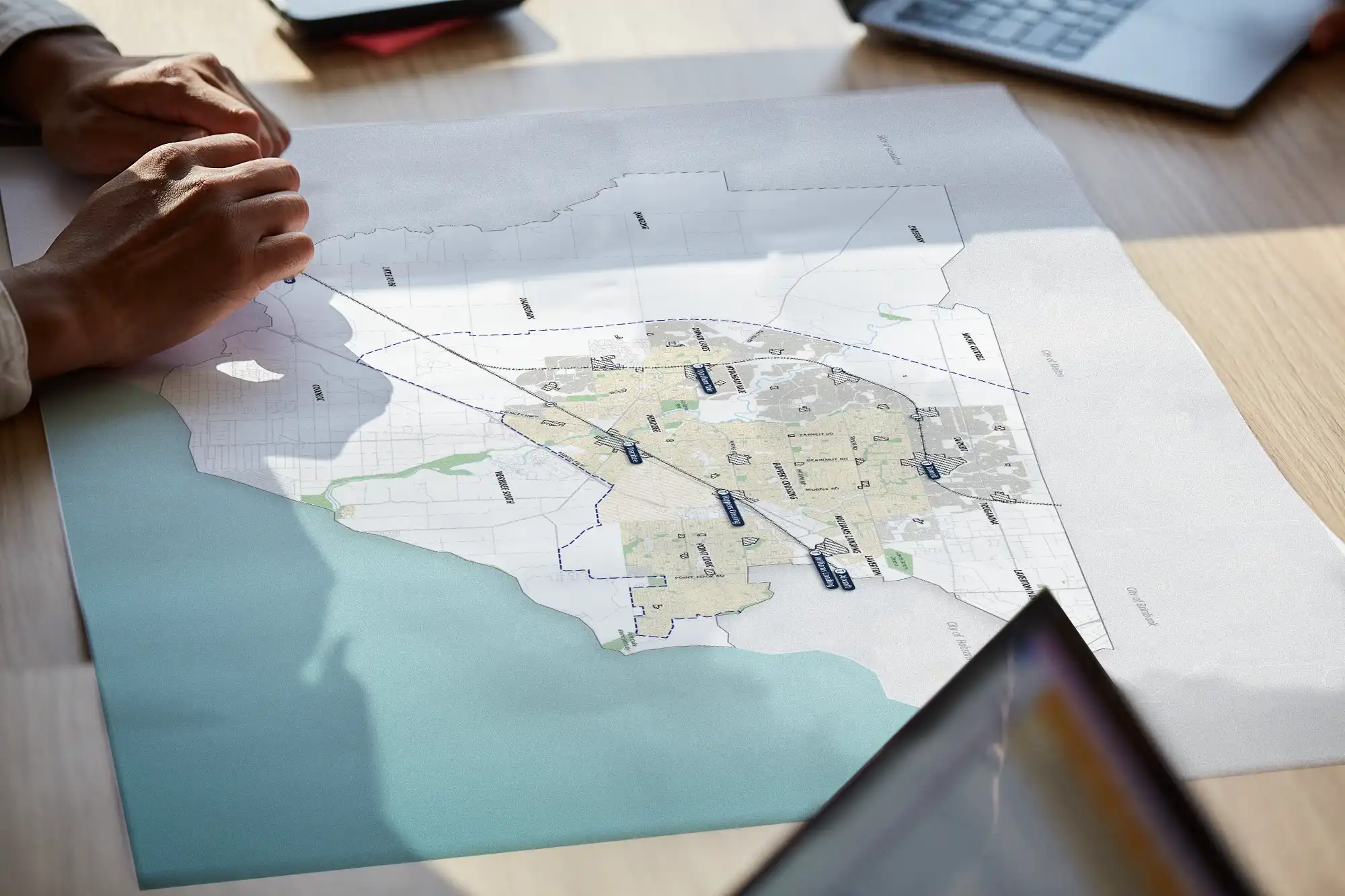
Our mapping studio brings spatial analysis and storytelling together. We use mapping to explore patterns, test ideas and communicate clearly, helping councils, stakeholders and communities see issues, opportunities and trade-offs across places and scales.


Meet our mapping experts

Danai Fadgyas
For more than 20 years, Danai has been crafting maps that tell powerful visual stories. He is driven by a passion for translating complex ideas into clear, engaging and beautifully designed spatial narratives.
Expertise includes:
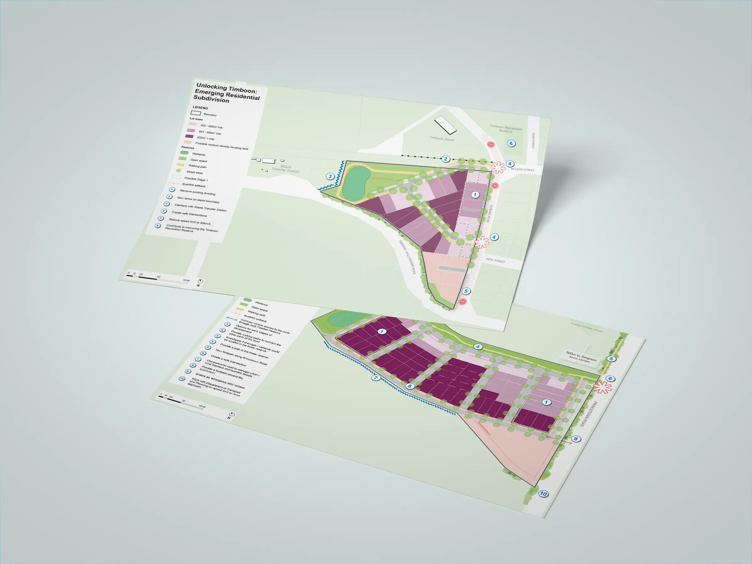
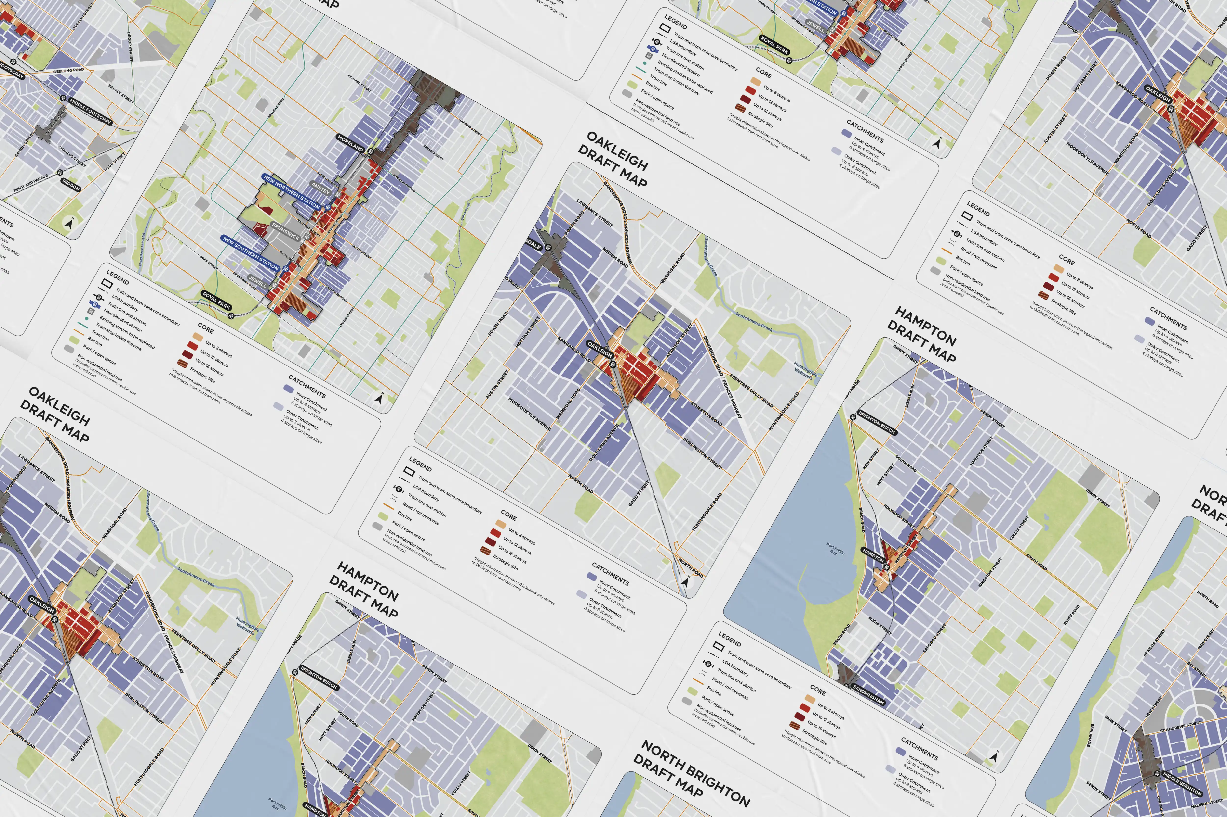
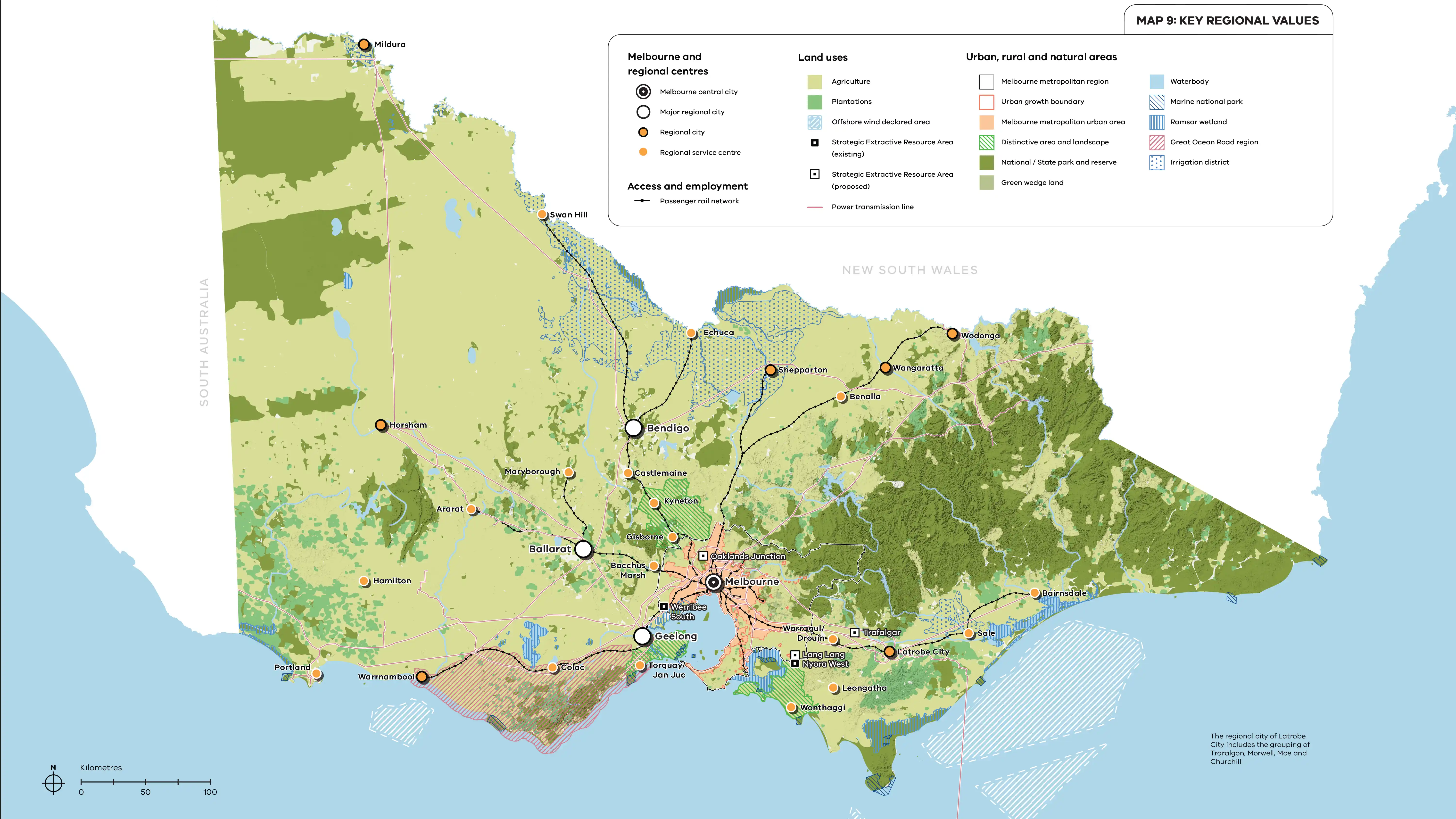
- Masterplans, maps and strategic plans
- Animated maps using GeoLayers and Google Earth
- Illustrated story maps
- Floor plans and layouts

Billy Indiarto
Billy specialises in crafting compelling visual maps across a range of platforms. With a background in urban planning and multimedia, he is skilled at translating spatial ideas into clear, engaging and accessible visual stories.
Expertise includes:
- Desktop publishing and digitising maps
- Illustrative maps
- Bespoke maps
- Masterplans and strategic plans
- Story maps

Mito Iwamoto
Mito specialises in GIS analysis and data-driven mapping. Using QGIS and Python scripting, he streamlines workflows and delivers engaging, decision-ready visualisations.
Expertise includes:
- GIS analysis and spatial modelling
- Workflow automation and Python scripting
- Advanced cartographic design
- Spatial data management and quality assurance

Need a map? Let's chat!
Get in touch and have a chat with our expert mapping team about how we can help.
